
Elkhart Neighbors by Source
Public records describe a block in layers. The parcel map supplies geography, the assessor names the assessed owner, and a deed explains a legal interest. Voter and historic sources require different keys and carry different limits. Elkhart neighbors cannot be reduced to one official roster because no such public roster was found.
| Source | What It Shows About a Block | Access |
|---|---|---|
| Beacon and county GIS | Parcel polygons, situs, parcel number, property card, and adjacency | Public Beacon map; county viewer as a check |
| Assessor card | Assessed owner, mailing versus situs address, value, characteristics, and sales | Beacon PDF or assessor office; not an occupant list |
| Recorder | Instrument parties, legal descriptions, plats, and subdivision ties | Tapestry, public computer, Laredo, or copy request |
| Voter sources | One exact person's registration or eligible county data categories | Indiana Voters; VRG-24 through county office |
| Civic and historical collections | Neighborhood context or a past occupant clue for a dated edition | City association pages, EPL, State Library, and archives |
An assessor name proves an assessment relationship. It does not prove occupancy, kinship, or presence on a given day. A voter result confirms only the exact registration searched. Keep assessed owner, mailing address, street address, and known occupant in separate fields. That small discipline prevents most false claims about your neighbors.
A block worksheet makes those limits visible. Give each nearby lot a direction from the anchor, then record its current parcel number, situs address, displayed assessment name, mailing-address difference, legal description, map source, and access date. Add a deed instrument and date only after checking the Recorder. For older Elkhart neighbors, preserve the directory edition and page, the neighborhood-plan source, and any unresolved question. Leave a cell blank when the source discloses nothing. If the map shows a cemetery, public building, rail corridor, river lot, or vacant tract, record that land use instead of forcing a person into the row.
Mapping Elkhart Neighbors
The verified adjacent-parcel method begins with the exact anchor address. Include its directional prefix, suffix, unit, and ZIP. Beacon accepts an address search and links map features to property cards. Work outward only to parcels that touch or face the anchor, and describe an alley, rear lot, river, road, rail corridor, vacant tract, or public building for what it is.
- Check the address spelling with USPS when it is uncertain. A mailing city does not prove the parcel lies inside city limits.
- Search Beacon and save the parcel number, situs, owner, mailing address, legal description, subdivision, and property-card date.
- Click each parcel touching or facing the anchor. Record its direction and parcel number before opening the card.
- Compare the county ArcGIS viewer. Record any useful layer name and access date, but preserve a gap when a dynamic layer does not load.
- For a past block, carry the lot or legal description into the recorder, directory, map, and street-name sources.
This process stays within the immediate radius. The Elkhart street directory carries the same evidence along an entire named street when the question grows beyond the block.
What Elkhart Parcels Prove
A parcel card links a legal tax parcel to its assessment record. The situs address is the site's physical label; the mailing address is where assessment or tax mail goes. They may differ. The legal description can preserve a lot, block, addition, subdivision, or metes-and-bounds description even when street names change.
A deed adds the named grantor, grantee, instrument, date, and legal interest. It still does not list every person using the site. Search Tapestry or use the Recorder's public computer in Goshen, with Laredo as the subscription path. Images and official copies can have fees. The county does not publish a reliable current online cutoff, so older work may move to books, microfilm, or the office.
Plats and legal descriptions can also test whether adjacent lots share a subdivision or came from a parcel split. That is a land relationship, not evidence of a family relationship. Compare the current lot and block wording across instruments before linking two owners. For annexed parts of Elkhart, save the annexation ordinance year and any earlier township or county-road label. The stable legal description may connect records even when a modern street number does not.
Property Fraud Alert is a free name-based notice service linked by the Elkhart County Recorder.
The official Elkhart Property Fraud Alert page is shown below.
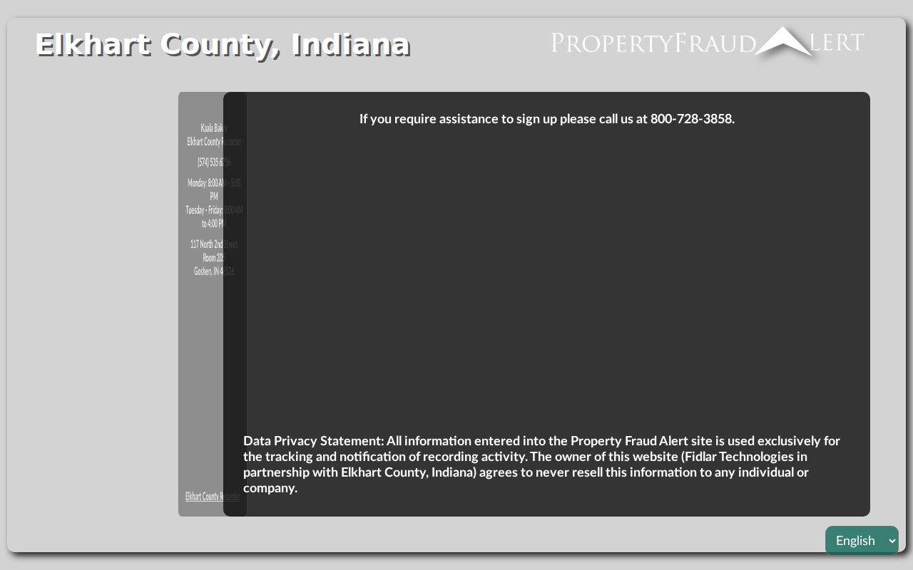
An alert can flag a new recording under a registered name, but it neither prevents a transfer nor identifies everyone on the block.
Elkhart Neighbors and Associations
The city identifies six established neighborhood associations. They supply civic context and a public path to local activity, not a household membership roll. The city says associations are open to all and lists a neighborhood email, 311, and a city phone contact. Individual association pages may show board roles, but template fields should not be treated as current meeting facts.
| Association | Public route |
|---|---|
| Pierre Moran | City neighborhood association page and city contact |
| Ground Keepers | City neighborhood association page and map |
| South Shore Bridge St. | City neighborhood association page and map |
| Compton Block | City neighborhood association page and map |
| Strong Ave | City neighborhood association page and map |
| Bent Oak | City neighborhood association page and map |
Use the City of Elkhart neighborhood associations page or neighborhoods@cityofelkhartin.gov for civic connection. Downtown, River District, Benham, and Sterling East plans describe planning geography. They do not establish that any person belongs to a group or lives at an address.
The city's association resources include a neighborhood guide, city-services guide, and sample agenda, minutes, and sign-in materials. These tools can explain how a group organizes or how to reach city staff. They do not open a member list. No official Elkhart HOA directory, block-watch roster, Chamber household list, or congregation roster was located. A civic inquiry should therefore use the public association contact or 311 rather than copying personal names from an unrelated source.
Voter Clues Near Elkhart Addresses
Indiana Voters is an exact personal-status check. It requires first name, last name, birth date, and county. It is not a street browser. Indiana does not register voters by party, and a result never reveals ballot choices. Protected voters, Social Security information, and specified election materials remain confidential.
A larger county file follows Form VRG-24. The form provides countywide, township, precinct, vote-history, voter-registration, and walking-list categories, subject to requester category, signed use limits, approval, fee, and delivery rules. Current Elkhart fee and format were not confirmed. Repeated personal searches are not a substitute for the request process.
For your neighbors, this means a voter clue belongs beside a known person's exact match, not beside every parcel on a block. Absence may reflect spelling, status, a move, or a protected record.
Elkhart Blocks Through Time
Historic directories and newspaper citations can add a dated occupant line to a parcel map. Publication gaps, rural routes, abbreviations, and changed street names are normal. Elkhart's code table records changes such as Lincoln becoming South Second in 1887 and Vistula becoming East Jackson in 1889. Search both names before concluding that a household moved.
The Elkhart Public Library local-history index exposes date fields, a search box, results, and a scan-request route.
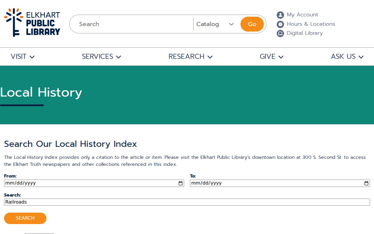
A citation may lead to a scan rather than a full article online. Save the date, publication, page, and search term before asking the downtown library.
Elkhart's first train arrived in 1851, and later rail growth shaped industrial streets. Railroad sources and Sanborn maps may explain a block's form, but they remain context until a deed, plat, directory, or custodian record confirms the address.
Archival Elkhart Neighbor Clues
The Elkhart County Historical Museum holds photographs, diaries, family records, plats, maps, census material, and a research library. Its Indiana Memory collection reports more than 30,000 artifacts and over 1,000 linear feet of archival holdings. That scale makes it useful for a block, school, business, farm, or family question that a modern parcel card cannot answer.
The Indiana Memory Elkhart collection provides the captured research source below.
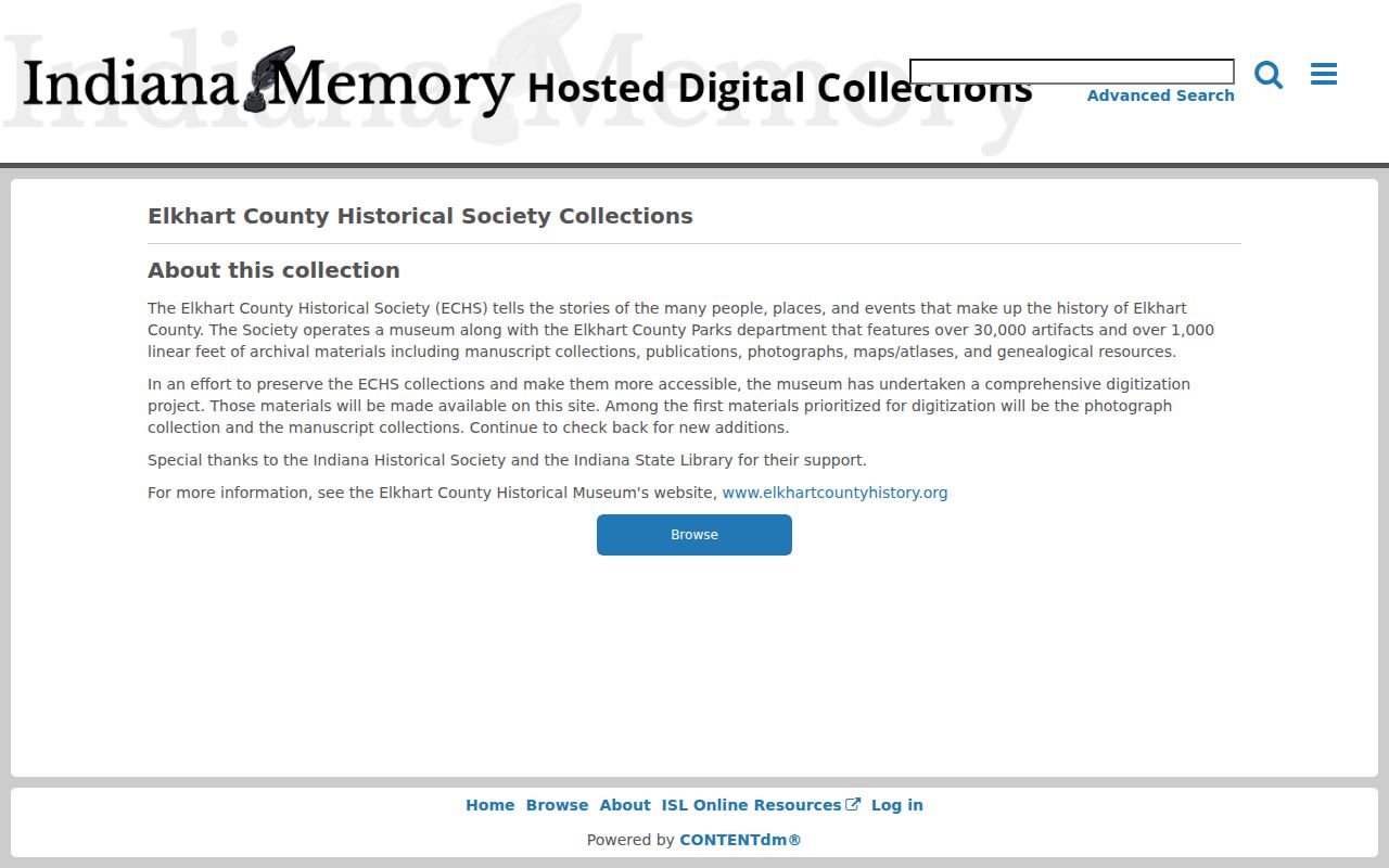
Preserve an item's title, collection, creator, date, rights note, and stable link. A building image needs comparison with roads, nearby structures, plats, or maps before it receives a modern address.
Other access channels remain important when the digital item is only a thumbnail or sparse metadata record. The Historical Museum recommends a research appointment and can check family files, maps, diaries, photographs, and manuscript material. The Genealogical Society's Corson Reading Room asks researchers to provide a surname in advance and offers a microfilm research route. Elkhart Public Library can supply a newspaper scan from a saved citation. Ask for one collection, surname, address, date range, or item identifier rather than an unrestricted search for everyone near the block.
Official Elkhart Block Evidence
Official records and commercial neighbor tools are built for different purposes. The official route is slower, but it exposes the custodian, record date, legal scope, and correction channel. A commercial compilation can merge old, licensed, marketing, and user-submitted material. It may be stale or conflate people with similar names.
| Choice | Strength | Key limit |
|---|---|---|
| Official parcel, deed, or voter source | Named custodian and reproducible record | Each proves only its stated field and date |
| Library or archival source | Dated local context and historical clues | May be secondary evidence or have year gaps |
| Commercial neighbor compilation | Broad category search | Source, age, and identity matching may be unclear |
Record the map access date, deed instrument, directory year and page, or archive identifier. Reproducible citations matter because portal fields, ownership, addresses, and privacy rules can change.
Privacy for Elkhart Neighbors
No official source found publishes a full block roster, association membership list, utility list, delivery list, protected-address list, or congregation roster. An assessor card omits non-owner household members. Indiana's Address Confidentiality Program can protect qualifying survivors through a substitute address and confidential voter flag. Other laws restrict Social Security and motor-vehicle personal data.
A map can prove adjacency while leaving personal relationships unknown. Shared ownership does not prove a shared household or family link. A permit can show an applicant, contractor, project, inspection, and date, but not every occupant. For a city permit, give the Permit Center or APRA request an exact address, parcel, permit type, and date range.
Lawful use. Research Elkhart neighbors only for lawful personal or civic purposes. Never use an address or record to watch, stalk, harass, intimidate, or harm anyone.